Documents

Project Documents

Feasibility Study for Renewable Energy in the Eastern Seaboard

Energy underpins socio-economic development, yet energy security remains a concern across South Africa. This feasibility study, prepared for MISA by GLS Consulting, assesses the potential for renewable energy generation across the Alfred Nzo, Harry Gwala, O.R. Tambo and Ugu District Municipalities. It sets out the study approach and methodology and presents the findings of the Phase 5 final report. Click on the button below to read the study.

Close-up of dew on a green leaf, representing the region natural environment

Eastern Seaboard Regional Integrated Transport Master Plan

Mobility and connectivity across the Eastern Seaboard are difficult and costly, shaped by the size of the region, the distances between settlements and limited transport services. This Regional Integrated Transport Master Plan, prepared for MISA by Royal HaskoningDHV, sets out integrated planning and smart transport proposals to improve movement across the region and support economic growth and social development. Click on the button below to read the final report.
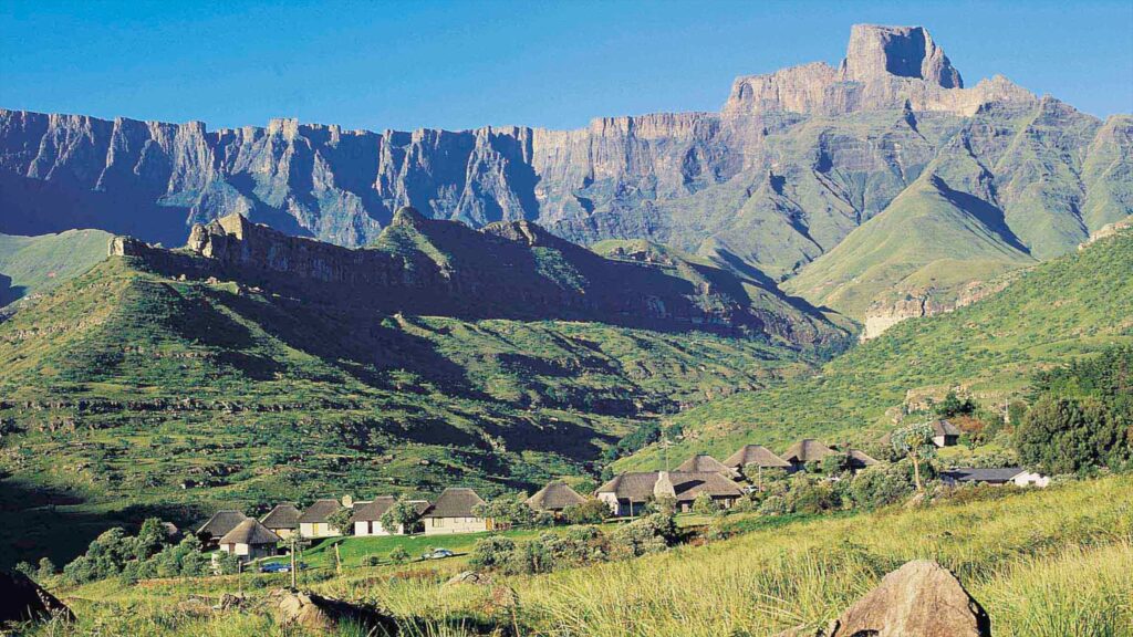
Drakensberg mountain landscape in the Eastern Seaboard region

Eastern Seaboard Regional Master Plan and Infrastructure Investment Framework

The Eastern Seaboard Master Plan (ESMP) sets out a vision and a set of implementable strategies to reshape the spatial economy of the Eastern Seaboard Development Region for the benefit of all who live there. Prepared by Zutari, the report establishes the regional spatial context, sets out the approach taken to developing the Master Plan, and presents an Infrastructure Investment Framework to guide delivery. Click on the button below to read the final Master Plan report.
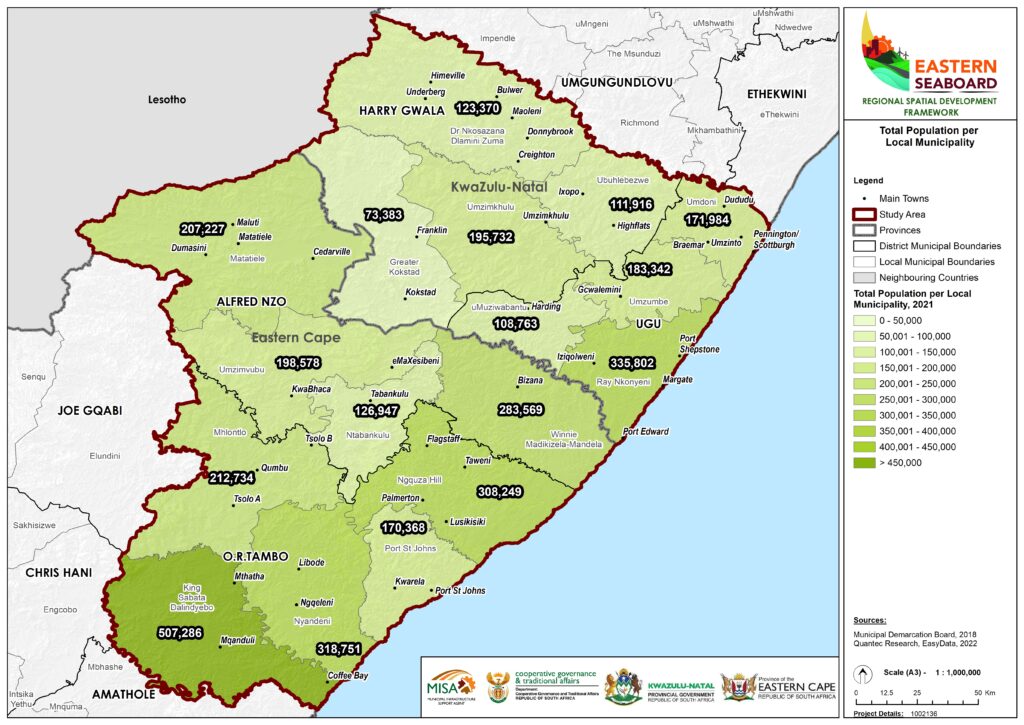
Population distribution map of the Eastern Seaboard region, 2021

Final Eastern Seaboard Regional Spatial Development Framework – 24/11/2023

The Eastern Seaboard Regional Spatial Development Framework (ESRSDF) is a visionary plan aimed at addressing complex challenges arising from decades of apartheid spatial planning in the Eastern Seaboard. Click on the button below to read the final Regional Spatial Development Framework for this region. 
Aerial view of the Eastern Seaboard region covered by the final Regional Spatial Development Framework

ESRSDF Public Participation report and 2nd Draft ESRSDF

During the Public Participation phase, meaningful engagements took place with stakeholders in accordance with section 18 (4)(2)(b) of the Spatial Planning and Land Use Management Act 16 of 2013. Based on the insights and suggestions of stakeholders, a second draft of the ESRSDF was finalised. 
Coastal landscape scenery of the Eastern Seaboard region

ESRSDF Comments Template

Dear stakeholder Please use the respective fields in the template (which can be downloaded from below) to provide us with your comments on the draft Eastern Seaboard Regional Spatial Development Framework (RSDF).  
Eastern Seaboard Regional Spatial Development Framework branding graphic